GISCollab
What GISCollab is
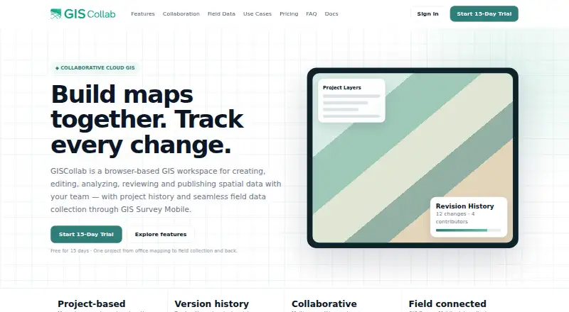
GISCollab is a cloud workspace for teams creating, editing, analyzing, reviewing and publishing spatial data. It supports SHP, GeoJSON, KML/KMZ, GPKG and GeoTIFF, with operations such as buffer, intersection, clip, dissolve, polygon-to-point and calculator. Shared projects provide members, editing locks and coordinated edits; project history records revisions and contributor context. GIS Survey Mobile can collect or update field features and synchronize observations. Projects can become WebGIS maps, and dashboards can show indicators and charts. The service runs in a browser and on Android. A 15-day trial includes 1 GB storage, five projects and three collaborators. Paid plans are Starter at $29 a year, Standard at $99 a year and Advanced at $299 a year, with increasing storage and collaborator limits. Advanced adds remote-sensing analysis powered by iT Sensing. Premium data, GeoAI and compute-heavy services use separate Cloud Credits; normal editing and collaboration do not.
Who it suits
It suits survey, mapping, infrastructure, government, environmental, consulting, research and enterprise GIS teams. Teams needing more than 150 GB, 20 collaborators or other enterprise capacity can request a custom plan.
What it does well
- Team editing with locks and revision history
- Supports raster and listed GIS formats
- Field synchronization through GIS Survey Mobile
- WebGIS publishing and dashboards
- 15-day trial available
What to know first
- No free plan
- Premium services may require Cloud Credits
- Advanced plan costs $299 a year
- Custom capacity requires a request
Plans
| Plan | Billed and limits | Price |
|---|---|---|
| Free Trial | / 15 days · 1 GB storage · 5 projects · 3 collaborators | Free |
| Starter | / year · 15 GB storage · unlimited projects · 5 collaborators | $29 a year |
| Advanced | / year · 150 GB storage · unlimited projects · 20 collaborators | $299 a year |
| Standard | / year · 50 GB storage · unlimited projects · 10 collaborators | $99 a year |
As giscollab.com lists them, read 8 Oct 2026. The maker's own page has the final word.
Verdict
GISCollab combines collaborative GIS editing, field updates, analysis, WebGIS publishing and dashboards in a cloud workspace. Review storage, collaborator limits and Cloud Credit requirements against your projects before selecting a plan.
Facts from GISCollab's own pages
- Advanced plan
- The Advanced plan adds remote-sensing analysis powered by iT Sensing; the site says premium imagery and some compute-heavy processing may still use Cloud Credits. · giscollab.com, 8 Oct 2026
- Analysis
- Listed spatial operations include buffer, intersection, clip, dissolve, polygon-to-point and calculator. · giscollab.com, 8 Oct 2026
- Collaboration
- Teams can work in shared projects with project members, editing locks and coordinated edits. · giscollab.com, 8 Oct 2026
- Custom capacity
- The site directs customers needing more than 150 GB, more than 20 collaborators or other enterprise capacity to request a custom plan. · giscollab.com, 8 Oct 2026
- Data formats
- The site lists SHP, GeoJSON, KML/KMZ, GPKG and GeoTIFF among supported GIS formats. · giscollab.com, 8 Oct 2026
- Field integration
- GIS Survey Mobile can collect or update project features in the field and synchronize observations back to GISCollab. · giscollab.com, 8 Oct 2026
- Headquarters
- Stuttgart Region, Germany; Yogyakarta, Indonesia · giscollab.com, 28 Sept 2026
- Intended users
- The site describes use cases including survey and mapping, infrastructure, government GIS, land and property, environmental GIS, consulting, research and enterprise GIS teams. · giscollab.com, 8 Oct 2026
- Maker and locations
- The site identifies TechnoGIS and lists locations in the Stuttgart Region, Germany, and Yogyakarta, Indonesia. · giscollab.com, 8 Oct 2026
- Paid usage limits
- Premium geospatial data, GeoAI and compute-intensive services use separate Cloud Credits; the site says normal GIS editing and collaboration do not consume them. · giscollab.com, 8 Oct 2026
- Product
- GISCollab is a browser-based workspace for creating, editing, analyzing, reviewing and publishing spatial data with a team. · giscollab.com, 8 Oct 2026
- Publishing
- Users can publish project maps as WebGIS and create dashboards with indicators and charts. · giscollab.com, 8 Oct 2026
- Revision history
- Project history tracks revisions and changes, and commits can include messages and contributor context. · giscollab.com, 8 Oct 2026
Where GISCollab stands on Freedom251
- GIS Software#38 of 64