HyRiver
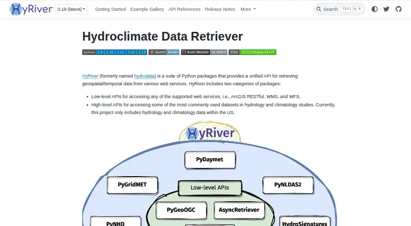
What HyRiver is
HyRiver is free desktop software for Linux, macOS, and Windows. It provides advanced spatial analysis and supports raster data, making it suitable for working with geographic information on a computer. HyRiver is deployed locally rather than as a web service. The listed feature set focuses on spatial processing and raster support; web mapping and dashboard-building tools are not included. There are no mobile apps listed. A free plan is available, so users can access the software without a stated subscription charge. Because the supported platforms cover the three major desktop operating systems, HyRiver can fit workflows that move between Linux, macOS, and Windows machines. Its advanced spatial-analysis capability is the central function described, while raster support adds compatibility with raster-based geographic datasets. Users looking for browser mapping, dashboard creation, or mobile access should note those unavailable or unlisted areas.
Who it suits
HyRiver suits GIS users who need free desktop spatial analysis and raster-data support on Linux, macOS, or Windows.
What it does well
- Free plan
- Advanced spatial analysis
- Raster data support
- Linux, macOS, and Windows support
- Desktop deployment
What to know first
- No web mapping
- No dashboard builder
- No mobile apps
Verdict
HyRiver is a free, cross-platform desktop option centered on advanced spatial analysis and raster data. It does not provide web mapping, dashboard building, or mobile apps.
Where HyRiver stands on Freedom251
- GIS Software#34 of 64