geemap
What geemap is
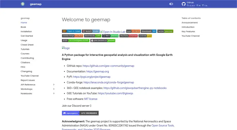
geemap is free software for advanced spatial analysis and web mapping, with support for raster data. It runs on Linux, macOS, Windows, and the web, and uses a hybrid deployment model. The mapping capabilities make it suitable for geographic workflows that need to work with raster layers and web-based maps. There are also no mobile apps, so access is limited to its supported desktop operating systems and browser environment. A free plan is available, with no price attached. Users can therefore work across several desktop and web contexts without a paid subscription, while relying on the platform’s advanced spatial-analysis functions and raster-data support for geographic information tasks.
Who it suits
It suits users who need free spatial analysis, raster-data support, and web mapping on Linux, macOS, Windows, or the web. It is less suitable for teams specifically seeking dashboard-building or mobile applications.
What it does well
- Free plan available
- Advanced spatial-analysis capabilities
- Supports raster data
- Web mapping included
- Runs on Linux, macOS, Windows, and web
What to know first
- No dashboard builder
- No mobile apps
- Hybrid deployment may require multiple environments
Verdict
geemap offers a free route to advanced spatial analysis, raster-data handling, and web mapping across desktop and browser platforms. Its listed limitations are the absence of dashboard-building tools and mobile apps.
Where geemap stands on Freedom251
- GIS Software#24 of 64