TerrSet
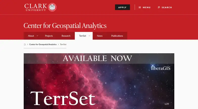
What TerrSet is
TerrSet is a Windows desktop geospatial system for monitoring and modeling the Earth system in support of sustainable development. It combines IDRISI GIS Analysis and Image Processing with specialized applications. GIS Analysis offers over 300 analytical tools, primarily for raster data, while Image Processing covers restoration, enhancement, transformation, and classification of remotely sensed imagery. Land Change Modeler supports land-change analysis and prediction, including REDD project modeling. Earth Trends Modeler examines image time series for long-term and seasonal climate trends and recurring patterns. Habitat and Biodiversity Modeler provides tools for habitat assessment, landscape pattern analysis, and biodiversity modeling. GeOSIRIS maps national REDD project impacts on deforestation, carbon emissions, agricultural revenue, and carbon payments. TerrSet includes utilities for importing and exporting major file and imagery formats, is COM compliant, and has IDRISI API documentation for access from other programming environments. The free liberaGIS edition is for Windows 8.1 and later or Windows Server 2008 and later; it omits Ecosystems Modeler, GStat, and parts of Climate Change Adaptation Modeler.
Who it suits
TerrSet liberaGIS is described for researchers, educators, and professionals working on spatial challenges such as land-use planning and environmental monitoring. It is for Windows users; it is not designed to run natively on Linux or MacOS.
What it does well
- GIS Analysis offers over 300 analytical tools.
- Includes tools for land change and climate trends.
- Utilities import and export major file and imagery formats.
- liberaGIS is free to all users.
What to know first
- Requires Windows 8.1 or later, or supported Windows Server.
- Not designed to run natively on Linux or MacOS.
- liberaGIS omits several modeling tools and components.
Limits
LiberaGIS removes Ecosystems Modeler, GStat, parts of Climate Change Adaptation Modeler, and Marxan in HBM. The application requires Windows 8.1 or later or Windows Server 2008 or later and at least 8 GB RAM.
Plans
| Plan | Billed and limits | Price |
|---|---|---|
| TerrSet liberaGIS | Free to all users · Windows 8.1 and above or Windows Server 2008 and above · Ecosystems Modeler, GStat, and parts of Climate Change Adaptation Modeler removed | Free |
As clarku.edu lists them, read 7 Oct 2026. The maker's own page has the final word.
Getting started
- Open the TerrSet website
- Download the free TerrSet liberaGIS plan
- Use Windows 8.1 or later or Windows Server 2008 or later
- Provide at least 8 GB RAM and required storage
- Install the desktop application
- Use the Support Center for documentation, discussions, FAQs, or technical tickets
Verdict
TerrSet combines raster-focused GIS analysis, image processing, and specialized modeling tools in a Windows desktop system. The free liberaGIS edition excludes some components, so check its included tools against your needs.
Questions
Is TerrSet liberaGIS free?
The TerrSet liberaGIS plan costs nothing and is free to all users.
Which platforms does TerrSet support?
It requires Windows 8.1 or later or Windows Server 2008 or later and is not designed to run natively on Linux or macOS.
What analysis does TerrSet provide?
It includes raster-focused GIS analysis, remote-sensing image processing, land-change modeling, climate time-series analysis, habitat and biodiversity modeling, and GeOSIRIS REDD impact mapping.
What does liberaGIS omit?
LiberaGIS omits Ecosystems Modeler, GStat, parts of Climate Change Adaptation Modeler, and Marxan in HBM.
Can TerrSet connect with other programming environments?
Yes. TerrSet is COM compliant, and IDRISI API documentation describes access from other programming environments.
What hardware is listed?
The download page lists 8 GB RAM, recommends 16 GB or more, and specifies 1.3 GB for the application plus 7.5 GB for tutorial data.
Facts from TerrSet's own pages
- Biodiversity modeling
- Habitat and Biodiversity Modeler provides tools for habitat assessment, landscape pattern analysis, and biodiversity modeling. · clarku.edu, 7 Oct 2026
- File formats
- TerrSet includes utilities for importing and exporting all major file and imagery formats. · clarku.edu, 7 Oct 2026
- Founded
- 1987 · clarku.edu, 28 Sept 2026
- GeOSIRIS
- GeOSIRIS quantifies and maps impacts of national REDD projects on deforestation, carbon emissions, agricultural revenue, and carbon payments. · clarku.edu, 7 Oct 2026
- GIS analysis
- IDRISI GIS Analysis offers over 300 analytical tools, primarily oriented to raster data. · clarku.edu, 7 Oct 2026
- Hardware requirements
- The download page lists 8 GB RAM, recommends 16 GB or more, and specifies 1.3 GB for the application plus 7.5 GB for tutorial data. · clarku.edu, 7 Oct 2026
- Headquarters
- 921 Main Street, Worcester, MA 01610, United States · clarku.edu, 28 Sept 2026
- Image processing
- IDRISI Image Processing includes procedures for restoration, enhancement, transformation, and classification of remotely sensed imagery. · clarku.edu, 7 Oct 2026
- Included tools
- The system combines IDRISI GIS Analysis and Image Processing tools with specialized applications. · clarku.edu, 7 Oct 2026
- Integrations
- TerrSet is fully COM compliant, and the IDRISI API documentation describes access to system functionality from other programming environments. · clarku.edu, 7 Oct 2026
- Intended users
- The download page describes liberaGIS as serving researchers, educators, and professionals working on spatial challenges such as land-use planning and environmental monitoring. · clarku.edu, 7 Oct 2026
- Land change modeling
- Land Change Modeler supports land change analysis and prediction, including REDD project-level modeling. · clarku.edu, 7 Oct 2026
- Limits in liberaGIS
- LiberaGIS omits Ecosystems Modeler, GStat, parts of Climate Change Adaptation Modeler, and Marxan in HBM. · clarku.edu, 7 Oct 2026
- Platform requirements
- TerrSet requires Windows 8.1 or later or Windows Server 2008 or later and is not designed to run natively on Linux or MacOS. · clarku.edu, 7 Oct 2026
- Purpose
- TerrSet is an integrated geospatial software system for monitoring and modeling the earth system for sustainable development. · clarku.edu, 7 Oct 2026
- Security and licensing
- The FAQ states that liberaGIS does not need a license file, while legacy perpetual licenses can be reactivated on a new machine only until September 2029. · clarku.edu, 7 Oct 2026
- Support
- The Support Center offers FAQs and documentation, user discussions, and technical support ticket submission for routine inquiries. · clarku.edu, 7 Oct 2026
- Time series analysis
- Earth Trends Modeler analyzes remotely sensed image time series to assess long-term climate trends, seasonal trends, and recurrent patterns. · clarku.edu, 7 Oct 2026
Where TerrSet stands on Freedom251
- GIS Software#26 of 64
- Geographic Information Systems#10 of 19