Freedom251 › Image Vectorization Software
Bunting Labs AI Vectorizer
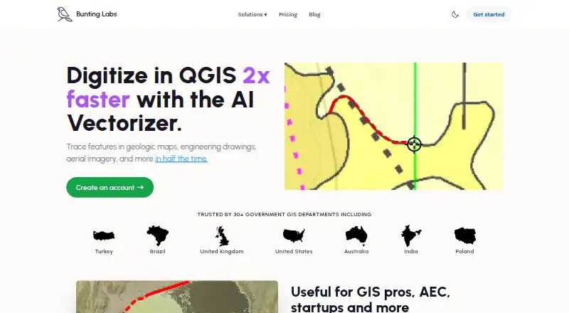
What Bunting Labs AI Vectorizer is
Bunting Labs AI Vectorizer is a QGIS plugin for digitizing features from geologic maps, engineering drawings, aerial imagery, and other maps. It works with a raster map and a LineString, MultiLine, or Polygon layer, detects features from line styles or polygon fills, and lets users control what is digitized and correct errors. Results go directly to vector layers, including GeoPackage, Shapefile, and other vector formats, and can be exported to ArcGIS and CAD. Listed uses include geology features, as-built utilities and plans, and aerial features such as buildings, water, fields, and roads. Bunting Labs says it was trained on tens of thousands of data points spanning maps from about 200 years old to recent ones, and claims digitizing takes half the time of the fastest humans at comparable accuracy. Personal costs $29 a month, billed monthly, with 120 completions per day. Professional costs $99 a month, billed monthly, with unlimited AI Vectorizer use, zero data retention, no training on data, and 100 georeferences per month. A one-day trial costs $1; the subscription starts charging afterward unless canceled.
Who it suits
It suits QGIS users digitizing features from maps into vector layers, including geology, engineering, and aerial imagery workflows.
What it does well
- Detects features by line style or polygon fill.
- Users can control digitizing and correct errors.
- Exports vector layers to ArcGIS and CAD.
- Available for Linux, macOS, and Windows.
What to know first
- No free plan is listed.
- The one-day trial costs $1.
- Personal plan data may be used to improve products.
Limits
Personal allows 120 completions per day, and its subscription data may be used to improve products. Professional includes unlimited AI Vectorizer use and 100 georeferences per month, with zero data retention and no training on customer data. The $1 trial provides complete access for one day; monthly billing starts afterward unless canceled.
Plans
| Plan | Billed and limits | Price |
|---|---|---|
| Personal | monthly · 120 completions per day · usage data used to improve products | $29 a month |
| Professional | monthly · Unlimited AI Vectorizer · zero data retention · no training on data · 100 georeferences per month | $99 a month |
As buntinglabs.com lists them, read 9 Oct 2026. The maker's own page has the final word.
Getting started
- Install a recent version of QGIS.
- Find the plugin in the QGIS plugin repository and install it.
- Open a raster map and a LineString, MultiLine, or Polygon vector layer.
- Choose the features to digitize and correct results as needed.
- Select a plan or begin the $1 one-day trial.
Verdict
The plugin combines feature detection with user control and vector-layer output in QGIS. Review the plan limits, trial terms, and data-use distinction before choosing a subscription.
Questions
How much does AI Vectorizer cost?
Personal costs $29 a month, billed monthly. Professional costs $99 a month, billed monthly.
Is there a free plan or trial?
There is no free plan. The one-day trial costs $1 and provides complete access for its first day; the monthly subscription starts afterward unless canceled.
Which platforms are supported?
The plugin is available for Linux, macOS, and Windows, and requires a recent QGIS version.
What can it export?
It digitizes to vector layers, including GeoPackage, Shapefile, and other vector formats; those layers can be exported to ArcGIS and CAD.
How do the plans differ on usage and privacy?
Personal allows 120 completions per day and usage data may be used to improve products. Professional offers unlimited vectorizer use, zero data retention, no training on customer data, and 100 georeferences per month.
Can I cancel or request a refund?
Subscriptions can be canceled at any time. Refund requests can be made through support or the website dashboard; subscription help is available at [email protected].
Facts from Bunting Labs AI Vectorizer's own pages
- Detection
- The AI automatically detects features by line style or polygon fill, and users can control what it digitizes and override it to fix errors. · buntinglabs.com, 9 Oct 2026
- Export
- The plugin digitizes directly to vector layers that can be exported to ArcGIS and CAD. · buntinglabs.com, 9 Oct 2026
- Headquarters
- San Francisco, California · buntinglabs.com, 28 Sept 2026
- Map types
- The maker says it trained its AI on tens of thousands of data points to work on maps ranging from 200 years old to recently made. · buntinglabs.com, 9 Oct 2026
- Plugin workflow
- The plugin works with a raster map and a LineString, MultiLine, or Polygon vector layer in QGIS. · buntinglabs.com, 9 Oct 2026
- Privacy
- The Professional plan offers zero data retention and says customer data is not used for training; Personal subscription data may be used to improve products. · buntinglabs.com, 9 Oct 2026
- Purpose
- The AI Vectorizer is a QGIS plugin for digitizing features in geologic maps, engineering drawings, aerial imagery, and other maps. · buntinglabs.com, 9 Oct 2026
- QGIS install
- The plugin is available in the QGIS plugin repository and requires a recent QGIS version, with no special computer requirements. · buntinglabs.com, 9 Oct 2026
- Refunds and cancellation
- The product page says subscriptions can be canceled at any time and refunds are available by contacting support or through the website dashboard. · buntinglabs.com, 9 Oct 2026
- Speed
- Bunting Labs says its AI digitizes features in half the time of the fastest humans at comparable accuracy. · buntinglabs.com, 9 Oct 2026
- Support
- The maker lists [email protected] for subscription help, cancellations, and refund requests. · buntinglabs.com, 9 Oct 2026
- Trial terms
- The one-day trial costs $1 and provides complete access for the first day; the monthly subscription starts charging after that unless canceled. · buntinglabs.com, 9 Oct 2026
- Use cases
- The maker lists geology features, as-built utilities and plans, and aerial features such as buildings, water, fields, and roads. · buntinglabs.com, 9 Oct 2026
Where Bunting Labs AI Vectorizer stands on Freedom251
- Image Vectorization Software#21 of 26