Freedom251 › Data Storytelling Tools
TalkingMaps
What TalkingMaps is
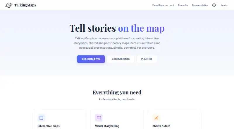
TalkingMaps is an open-source tool for creating interactive story maps that combine maps, text, multimedia, charts, and geospatial data. Stories can use 2D maps with MapLibre GL JS or a 3D globe with CesiumJS, with 11 slide layouts available. Map layers can draw on formats and services including GeoJSON, Shapefile, GeoPackage, WMS, WFS, WMTS, XYZ tiles, vector tiles, Cloud Optimized GeoTIFF, and 3D Tiles. Authors can add Chart.js charts, KPI dashboards, and interactive TimelineJS timelines. An AI assistant generates text, translations, chart configurations, and images using OpenAI, Anthropic Claude, or Google Gemini; provider API keys are encrypted and stored per user. Stories support collaboration roles and can be published publicly, shared through private links, or embedded on another website. Registered users can submit geolocated text, photos, video, or audio for moderation. TalkingMaps is free and self-hosted with Docker. It documents a REST API at /api/docs and identifies its license as GNU General Public License v3.0.
Who it suits
TalkingMaps suits journalists, researchers, educators, planners, and others presenting information through maps. Its Docker deployment is for users who can host the software themselves.
What it does well
- Supports interactive 2D maps and a 3D globe
- Includes 11 slide layouts
- Offers public, private-link, and embedded sharing
- Supports multiple geospatial formats and services
- Free, open source, and self-hosted
What to know first
- Self-hosting with Docker is required
- Default maximum media upload is 50 MB
- Participatory attachments default to 10 MB
- Per-user storage defaults to 1024 MB
Limits
The documented defaults allow media uploads up to 50 MB, participatory attachments up to 10 MB, and 1024 MB of storage per user. Administrators can configure the two upload limits.
Getting started
- Choose a Windows, Mac, or Linux environment for deployment.
- Install Docker Desktop on Windows or Mac, or Docker Engine and Compose on Linux.
- Deploy TalkingMaps as a self-hosted service using Docker.
- Use the web interface to build a story map and add layers, charts, or timelines.
- Publish a story publicly, share a private link, or embed it in another website.
Verdict
TalkingMaps combines map-based storytelling with charts, timelines, collaboration, and moderated contributions. It is free and open source, but requires self-hosting and has documented default storage and upload limits.
Questions
Is TalkingMaps free and open source?
Yes. It is free and open source, and its repository identifies the GNU General Public License v3.0.
Which platforms does TalkingMaps support?
Its listed platforms are API, Linux, macOS, self-hosted, web, and Windows. Deployment documentation describes Docker Desktop for Windows or Mac and Docker Engine with Compose for Linux.
What maps and data can I use?
TalkingMaps supports 2D maps with MapLibre GL JS and a 3D globe with CesiumJS. Layers can use GeoJSON, Shapefile, GeoPackage, WMS, WFS, WMTS, XYZ tiles, vector tiles, Cloud Optimized GeoTIFF, and 3D Tiles.
Can I use an AI provider with TalkingMaps?
Yes. The assistant supports OpenAI, Anthropic Claude, and Google Gemini for generating text, translations, chart configurations, and images. Provider API keys are encrypted and stored per user.
How can I share a story?
Published stories can be public, shared through private links, or embedded in another website with an iframe.
What are the default upload and storage limits?
The default maximum media upload is 50 MB, participatory attachments default to 10 MB, and per-user storage defaults to 1024 MB. Administrators can configure the two upload limits.
Facts from TalkingMaps's own pages
- AI key storage
- The documentation says AI provider API keys are encrypted and stored per user. · talkingmaps.eu, 8 Oct 2026
- AI providers
- The AI assistant can generate text, translations, chart configurations, and images using OpenAI, Anthropic Claude, or Google Gemini. · talkingmaps.eu, 8 Oct 2026
- API
- The maker documents auto-generated REST API documentation at /api/docs. · talkingmaps.eu, 8 Oct 2026
- Audience
- The documentation describes it for journalists, researchers, educators, planners and anyone telling a story on a map. · talkingmaps.eu, 8 Oct 2026
- Charts and timelines
- Stories can include Chart.js charts, KPI dashboards, and interactive timelines powered by TimelineJS. · talkingmaps.eu, 8 Oct 2026
- Collaboration
- Stories support collaboration roles including editor and read-only viewer, alongside admin, editor and viewer account roles. · talkingmaps.eu, 8 Oct 2026
- Data sources
- Map layers can use GeoJSON, Shapefile, GeoPackage, WMS, WFS, WMTS, XYZ tiles, vector tiles, Cloud Optimized GeoTIFF and 3D Tiles. · talkingmaps.eu, 8 Oct 2026
- Deployment
- TalkingMaps is open source and self-hosted with Docker; the maker documents Docker Desktop for Windows or Mac and Docker Engine with Compose for Linux. · talkingmaps.eu, 8 Oct 2026
- GIS services
- Users can save and reuse GeoServer, QGIS Server, MapServer and other OGC-compliant service endpoints in a service catalog. · talkingmaps.eu, 8 Oct 2026
- Integrations
- The AI assistant supports OpenAI, Anthropic Claude and Google Gemini; the documentation says user API keys are encrypted and stored per user. · talkingmaps.eu, 8 Oct 2026
- License
- The project repository identifies its license as GNU General Public License v3.0. · github.com, 8 Oct 2026
- Limits
- The documented default maximum file upload is 50 MB, participatory attachments default to 10 MB, and per-user storage defaults to 1024 MB. · talkingmaps.eu, 8 Oct 2026
- Maker
- The site credits Federico Gianoli and Martino Boni (Tenoli) and says the project was sponsored and redeveloped by StudioGIS.eu. · talkingmaps.eu, 8 Oct 2026
- Mapping
- It supports 2D maps with MapLibre GL JS and a 3D globe with CesiumJS. · talkingmaps.eu, 8 Oct 2026
- Maps and layouts
- It supports interactive 2D maps, a 3D globe, and 11 slide layouts, including full-map, navigable-image, and point-cloud layouts. · talkingmaps.eu, 8 Oct 2026
- Notable limits
- The documentation lists a 50 MB default maximum media upload and a 10 MB default maximum attachment size for participatory contributions; administrators can configure both. · talkingmaps.eu, 8 Oct 2026
- Participatory maps
- Registered users can add geolocated contributions with text, photos, video or audio, which the story owner or an admin can moderate. · talkingmaps.eu, 8 Oct 2026
- Purpose
- TalkingMaps creates interactive story maps that combine maps, text, multimedia, charts and geospatial data. · talkingmaps.eu, 8 Oct 2026
- Self-hosting
- TalkingMaps is self-hosted with Docker; the installation documentation lists Docker Desktop for Windows or Mac, or Docker Engine and Docker Compose for Linux. · talkingmaps.eu, 8 Oct 2026
- Sharing
- Published stories can be public, shared through private links, or embedded in another website with an iframe. · talkingmaps.eu, 8 Oct 2026
- Support
- The documentation links to GitHub options to report a bug or request a feature. · talkingmaps.eu, 8 Oct 2026
- Visualization
- Stories can include Chart.js charts, KPI dashboards and TimelineJS timelines. · talkingmaps.eu, 8 Oct 2026
Where TalkingMaps stands on Freedom251
- Data Storytelling Tools#16 of 22