Freedom251 › Spatial Databases

Oracle Spatial
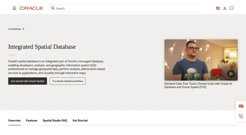
What Oracle Spatial is
Oracle Spatial adds spatial data capabilities to Oracle Database and uses SQL as its query interface. It supports geometry, GeoRaster, point cloud, 3D geometry, topology, and network data, covering varied spatial representations. Raster support, 3D geometry support, and coordinate transforms are included. The product is available on Linux, Windows, and the web, with both deployment models listed. Oracle Spatial uses a freemium model with a free plan, allowing projects to begin without a paid subscription. Its database-oriented approach suits work where spatial information must be queried through SQL and may include raster, three-dimensional, topology, or network data. The supported types and transformations define its practical scope: teams can compare those capabilities with the data their project needs to store and query. Oracle Spatial is therefore a focused option for spatial database work rather than a general mapping description.
Who it suits
It suits teams querying spatial information through SQL, especially when projects involve raster, 3D, topology, network, or transformed coordinate data. Linux, Windows, and web availability support varied environments.
What it does well
- Free plan available
- SQL query interface
- Supports raster and 3D geometry
- Handles topology and network data
- Coordinate transforms included
What to know first
- Focused on Oracle Database spatial work
- Capability fit depends on required data types
Verdict
Oracle Spatial combines SQL querying with broad spatial data-type support and coordinate transformations. Its free plan and broad platform listing make it worth considering when those database capabilities match the project.
Where Oracle Spatial stands on Freedom251
- Spatial Databases#30 of 40