Freedom251 › Fitness Workout Tracking Software

AAT (Another Activity Tracker)
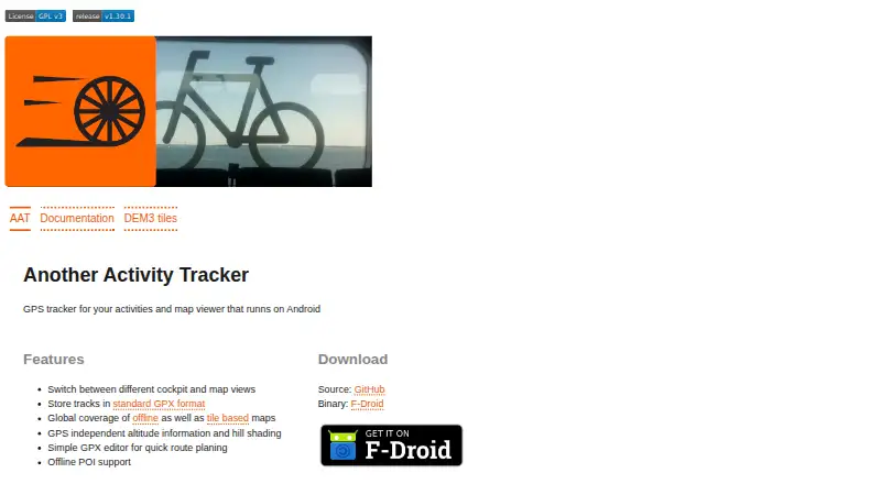
What AAT (Another Activity Tracker) is
AAT (Another Activity Tracker) is a free GPS tracking application for sporting activities, with an emphasis on cycling. It provides live tracking in cockpit and map views and saves recorded routes in GPX format for sharing with other applications. Maps can be used offline or as tiles, with overlays for cycling and hiking routes. Search integrates Overpass and Nominatim, while offline points of interest can be shown from Mapsforge-compatible databases. A simple GPX editor supports quick route planning. AAT can provide altitude information independently of GPS readings and display hill shading from DEM3 tiles; Bluetooth and internal sensors are supported, as is wearable sync. AAT has Android and Linux GTK variants. Android downloads are available through F-Droid, the GTK version through Flathub, and builds through the project release page. The GTK variant is described as alpha software. The application is licensed under GNU GPLv3 or later. Tracked activities, logs, search results, overlays, and cached elevation data are kept in subdirectories of a configurable data directory. Downloaded map tiles remain cached until users manually trim the tile cache in map preferences.
Who it suits
AAT suits people who want to track outdoor sporting activities, especially cycling, on Android or Linux. It may also suit users who value GPX route sharing, offline maps, route planning, and wearable sync.
What it does well
- Free software under GNU GPLv3 or later.
- Live tracking is available in cockpit and map views.
- Offline maps and route overlays support cycling and hiking.
- GPX editor provides quick route planning.
- Supports Bluetooth, internal sensors, and wearable sync.
What to know first
- The Linux GTK variant is described as alpha software.
- Cached map tiles are not removed automatically.
- Android and Linux are the listed platforms.
Limits
The GTK variant is described as alpha software. Downloaded map tiles remain cached until manually trimmed in map preferences.
Plans
| Plan | Billed and limits | Price |
|---|---|---|
| AAT | GPLv3 or later · Android and GTK variants | Free |
As bailu.ch lists them, read 11 Oct 2026. The maker's own page has the final word.
Getting started
- Visit the AAT website.
- Choose the Android or Linux GTK variant.
- Download the Android version from F-Droid, the GTK version from Flathub, or a build from the project release page.
- Configure the data directory for tracked activities and related data.
Verdict
Choose AAT if you want free GPS activity tracking with GPX sharing, map options, and cycling-focused features. Look elsewhere if you need a stable Linux GTK release, since that variant is described as alpha software.
Questions
Is AAT free?
Yes. Its listed plan costs nothing and is licensed under GNU GPLv3 or later.
Which platforms does AAT support?
Android and Linux are listed. The Linux GTK variant is described as alpha software.
Where can I download AAT?
The Android version is available on F-Droid, the GTK version on Flathub, and builds on the project release page.
Can AAT share recorded routes?
It stores tracks in GPX format for sharing with other applications.
Does AAT support wearable sync?
Yes, wearable sync is listed.
Facts from AAT (Another Activity Tracker)'s own pages
- Data storage
- AAT stores tracked activities, current logs, search results, overlays, and cached elevation data in subdirectories of its configurable data directory. · bailu.ch, 11 Oct 2026
- Downloads
- The Android version is available on F-Droid, the GTK version on Flathub, and builds are available on the project release page. · github.com, 11 Oct 2026
- Elevation
- It provides GPS independent altitude information and hill shading from DEM3 tiles. · github.com, 11 Oct 2026
- License
- AAT is licensed under GNU GPLv3 or later. · github.com, 11 Oct 2026
- Live tracking
- It displays live tracking in different cockpit and map views. · github.com, 11 Oct 2026
- Map cache limit
- Downloaded and cached map tiles are not removed automatically; users can trim the tile cache manually in map preferences. · bailu.ch, 11 Oct 2026
- Maps
- It supports offline and tile based maps, plus tile overlays for cycle and hiking routes. · github.com, 11 Oct 2026
- Maturity
- The GTK variant is described as alpha software. · github.com, 11 Oct 2026
- Purpose
- AAT is a GPS tracking application for sportive activities, with emphasis on cycling. · github.com, 11 Oct 2026
- Route planning
- It includes a simple GPX editor for quick route planning. · github.com, 11 Oct 2026
- Search and POIs
- It integrates Overpass and Nominatim and displays offline POIs from Mapsforge compatible databases. · github.com, 11 Oct 2026
- Sensors
- It supports Bluetooth and internal sensors. · github.com, 11 Oct 2026
- Support
- The maker directs questions, feedback, and bug reports to GitHub issues or [email protected]. · bailu.ch, 11 Oct 2026
- Track format
- It stores tracks in standard GPX format for sharing with other applications. · github.com, 11 Oct 2026