Freedom251 › Interactive Map Software
uMap
What uMap is
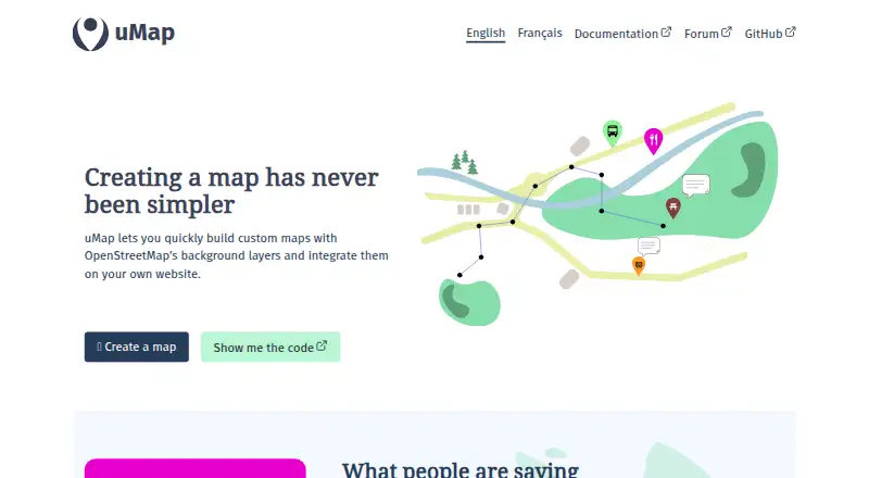
uMap is free, open-source software for creating custom maps with OpenStreetMap background layers and placing them on a website. It runs on the web, Linux, or a self-hosted installation. Users can draw lines and polygons, import information layers, build heatmaps and point clusters, and create ordered slideshows containing photos, text, sounds, and videos. Maps can be private drafts, public, or available to anyone with a link; public maps may be indexed by search engines. Editing permissions can be limited to the owner, shared with editors and a team, or opened to everyone, including people without an account. Configurable importers cover Overpass, datasets, OpenDataSoft, and several France-specific sources. Administrators can add tile layers and define attribution text and zoom levels. Deployment documentation covers local or server installation, Docker, and Dokku. The documented stack uses Python, Django, PostgreSQL, and PostGIS, with Redis enabling real-time collaboration in Docker deployments.
Who it suits
uMap suits people and organizations that need custom, embeddable maps, including projects showing solar sites, transport networks, flood hazards, or neighborhood businesses. It also fits teams wanting self-hosting and configurable editing access.
What it does well
- Free and open-source under AGPLv3
- Draw lines, polygons, heatmaps, and clusters
- Import data through configurable sources
- Embed maps with an iframe
- Supports self-hosting with Docker and Dokku
What to know first
- Documented installation requires several server components
- Real-time collaboration requires Redis configuration
- Public maps may be indexed by search engines
Verdict
uMap combines map drawing, imported layers, visualizations, multimedia slideshows, and embedding in a free open-source project. Its web and self-hosting options suit projects that need control over map access, deployment, and collaboration.
Facts from uMap's own pages
- Accounts
- By default, account creation is configured to use OAuth2, and administrators can also manage local users. · docs.umap-project.org, 7 Oct 2026
- Collaboration
- The Docker deployment documentation says real-time collaboration can be enabled by adding Redis and setting the related environment variables. · docs.umap-project.org, 7 Oct 2026
- Community
- The project says it is maintained by a community of contributors and invites users to get involved by contacting [email protected]. · umap-project.org, 7 Oct 2026
- Data layers
- The site shows importing information layers as a uMap use case. · umap-project.org, 7 Oct 2026
- Dependencies
- The documented installation requires Python, Django, PostgreSQL and the PostGIS extension. · docs.umap-project.org, 7 Oct 2026
- Editing permissions
- Maps can be configured for owner-only editing, editing by editors and team, or editing by everyone, including people not logged in. · discover.umap-project.org, 7 Oct 2026
- Embedding
- uMap maps can be embedded in a user’s website. · discover.umap-project.org, 7 Oct 2026
- Integrations and data
- The user documentation lists tutorials for using OpenStreetMap with Overpass, displaying Grist data, embedding remote data and embedding GPX with elevation. · discover.umap-project.org, 7 Oct 2026
- Map access controls
- Map access options include private drafts, public maps and maps accessible to anyone with the link; public maps can be indexed by search engines. · discover.umap-project.org, 7 Oct 2026
- Map data imports
- The documentation describes configurable importers for Overpass, datasets and OpenDataSoft, along with several France-specific data sources. · docs.umap-project.org, 7 Oct 2026
- Map drawing
- Users can draw lines and polygons on maps. · umap-project.org, 7 Oct 2026
- Map features
- Users can draw lines and polygons, import information layers, create heatmaps and clusters, and make slideshows with photos, text, sounds and videos. · umap-project.org, 7 Oct 2026
- Map visualizations
- uMap’s site describes heatmaps for showing density and clustering to reveal points as users zoom in. · umap-project.org, 7 Oct 2026
- Multimedia
- The slideshow feature can present photos, text, sound and video in a specified order. · umap-project.org, 7 Oct 2026
- Open source
- The project describes uMap as free and open-source software licensed under AGPLv3. · umap-project.org, 7 Oct 2026
- Privacy and security
- The installation guide says operators must configure a long random secret key for their uMap installation. · docs.umap-project.org, 7 Oct 2026
- Purpose
- uMap lets users create custom maps with OpenStreetMap background layers and embed them on their websites. · umap-project.org, 7 Oct 2026
- Self-hosting
- The project provides installation documentation for running uMap locally or on a server and an official Docker image. · docs.umap-project.org, 7 Oct 2026
- Support
- The project points users to its community forum and lists [email protected] for other ways to get involved. · umap-project.org, 7 Oct 2026
- Tile layers
- Administrators can add base map tile layers and set their attribution text and available zoom levels. · docs.umap-project.org, 7 Oct 2026
- What it does
- uMap lets users create custom maps with OpenStreetMap background layers and embed them on their own websites. · umap-project.org, 7 Oct 2026
- Who it serves
- The project illustrates uses including mapping potential solar panel sites, public transport networks, flood hazards and neighborhood pub density. · umap-project.org, 7 Oct 2026
Where uMap stands on Freedom251
- Interactive Map Software#31 of 40