Freedom251 › Point Cloud Software
RIEGL RiSCAN PRO
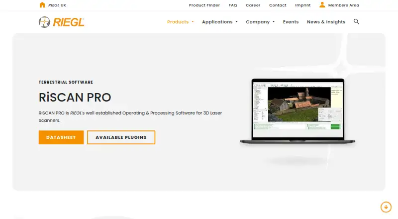
What RIEGL RiSCAN PRO is
RIEGL RiSCAN PRO is operating and processing software for terrestrial laser scanning projects. It covers scanner data acquisition, visualization, and processing, with real-time field data streaming and automated batch processing. Its point-cloud workflow includes automatic registration, multi-station adjustment, filtering, merging, colorization, meshing, and volume calculation. The software can combine information from multiple sensors, including external camera data, to add color and other attributes to point clouds.
RiSCAN PRO exports to formats including .e57, .las, .laz, .pts, .ptx, .obj, .stl, .dxf, .csv, and .pdf. Its documented XML project structure supports moving projects to third-party post-processing software. Available plugins include RiPANO, LIS GeoTec, LIS TreeAnalyzer, and an AI image anonymizer for faces and license plates. Listed applications range from architecture and façade measurement to surveying, agriculture and forestry, topography, archaeology, cultural heritage, and city modeling. The software supports RIEGL VZ-Line and VZ-i series scanners and runs on Windows 11. RIEGL was founded in 1978 and is headquartered in Horn, Austria. Pricing is available on request, and download access is limited to RIEGL customers through its Members Area.
Who it suits
RiSCAN PRO suits surveying, scanning, and modeling teams using supported RIEGL terrestrial laser scanners on Windows 11. Its acquisition, point-cloud processing, sensor fusion, and export capabilities serve projects from as-built surveys and façade measurement to forestry and city modeling.
What it does well
- Streams field data in real time and supports automated batch processing.
- Includes registration, filtering, colorization, meshing, and volume calculation.
- Combines scanner and external camera data into attributed, colorized point clouds.
- Exports to listed formats including .e57, .las, .laz, .obj, and .stl.
- Documented XML project structure supports third-party post-processing transfer.
- Plugins include tools for panoramas, tree analysis, and image anonymization.
What to know first
- Runs on Windows 11.
- Supports RIEGL VZ-Line and VZ-i series terrestrial scanners.
- Pricing is available on request.
- Downloads are accessible to RIEGL customers through the Members Area.
Limits
The current datasheet's minimum system requirements apply to projects of up to about 100 scan positions. Pricing depends on license levels and plugin module licenses, with prices available on request.
Plans
| Plan | Billed and limits | Price |
|---|---|---|
| RiSCAN PRO licenses | Different license levels and plugin module licenses | On request |
As riegl.com lists them, read 8 Oct 2026. The maker's own page has the final word.
Getting started
- Visit the RIEGL RiSCAN PRO product page.
- Confirm your system runs Windows 11 and your scanner is a supported RIEGL VZ-Line or VZ-i series model.
- Contact RIEGL for pricing and license levels or plugin module licenses.
- Use the RIEGL Members Area to access the download if you are a RIEGL customer.
- Use RIEGL’s support channel for technical support or the product page’s regional sales contacts.
Verdict
Choose RiSCAN PRO if your terrestrial scanning work uses supported RIEGL scanners and needs acquisition through point-cloud processing in one workflow. Its sensor combination, broad processing tools, and export options support varied surveying and modeling tasks. Check the Windows 11 requirement, customer-only download access, and requested pricing before choosing it.
Questions
What does RiSCAN PRO cost?
Pricing is available on request. Different license levels and plugin module licenses are offered.
Which operating system does it support?
The current supported platform is Windows 11.
Which scanners does it support?
Listed inputs include RIEGL VZ-Line terrestrial laser scanners and RIEGL VZ-i series scanners.
Can it export point-cloud data?
Yes. Listed formats include .3pf, .asc, .csv, .dm, .dtm, .dxf, .e57, .las, .laz, .obj, .pdf, .tif, .jpg, .pod, .pol, .pts, .ptx, .rqx, .stl, and .wrl.
How can customers download it?
RIEGL makes the download available exclusively to its customers through the Members Area.
What are typical uses?
Listed applications include architecture and façade measurement, as-built surveying, agriculture and forestry, topography, archaeology and cultural heritage, and city modeling.
Facts from RIEGL RiSCAN PRO's own pages
- Acquisition and processing
- It supports scanner data acquisition, visualization, and processing, including real-time field data streaming and automated batch processing. · riegl.com, 8 Oct 2026
- Download access
- RIEGL says the RiSCAN PRO download is exclusively accessible to RIEGL customers through its Members Area. · riegl.com, 8 Oct 2026
- Exports and interoperability
- It exports point clouds in industry-standard formats, and its published, documented XML project structure supports transfer to third-party post-processing software. · riegl.com, 8 Oct 2026
- Founded
- 1978 · riegl.com, 28 Sept 2026
- Headquarters
- Horn, Austria · riegl.com, 28 Sept 2026
- Plugins
- Available plugins include RiPANO, LIS GeoTec, LIS TreeAnalyzer, and an AI image anonymizer for faces and license plates. · riegl.com, 8 Oct 2026
- Point cloud tools
- Features include automatic registration, multi-station adjustment, filtering, data merging, colorization, meshing, and volume calculation. · riegl.com, 8 Oct 2026
- Purpose
- RiSCAN PRO is RIEGL’s operating and processing software for terrestrial laser scanning projects. · riegl.com, 8 Oct 2026
- Sensor fusion
- The software combines data from multiple sensors, including external camera data, to produce colorized point clouds with additional attributes. · riegl.com, 8 Oct 2026
- Support
- RIEGL directs technical support requests to its support channel and provides regional sales contact details on the product page. · riegl.com, 8 Oct 2026
- System requirements
- The current datasheet specifies Windows 11 and lists minimum requirements that apply to projects up to about 100 scan positions. · riegl.com, 8 Oct 2026
- Typical applications
- The datasheet lists architecture and façade measurement, as-built surveying, agriculture and forestry, topography, archaeology and cultural heritage, and city modeling as typical applications. · riegl.com, 8 Oct 2026
Where RIEGL RiSCAN PRO stands on Freedom251
- Point Cloud Software#19 of 24
- 3D Scanning Software#25 of 29