Freedom251 › Drone Analytics Software
Propeller Platform
What Propeller Platform is
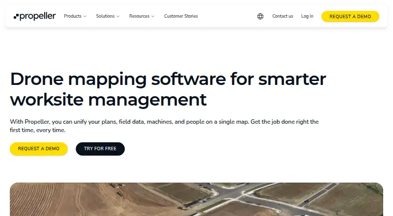
Propeller Platform brings plans, field data, machines, and teams together on a map for worksite management. It uses survey data from machines, drones, GPS rovers, laser scanners, and total stations to measure volumes, elevations, distances, surface areas, and stockpiles, and to compare site conditions with designs or past surveys. Teams can view sites in 2D or 3D, combine survey captures, follow changes over time, inspect map layers and cross sections, and track progress and productivity. DirtMate adds machine location, utilization, speed, and cycle data. Teams can share maps by unique URL, collaborate on markups in real time, and create reports and progress videos. The platform supports Android, iOS, web, and API access, and is cloud deployed. Listed integrations and workflows include Trimble, Procore, Autodesk, OneDrive, HCSS, ArcGIS, and QGIS. It is paid, with pricing on request, and has a 14-day trial rather than a free plan. Trial access to a user's own data lasts 14 days, and the trial does not include processing.
Who it suits
Propeller Platform is intended for worksite teams in aggregates, waste management, mining, and civil construction, including project managers, surveyors, site engineers, and quarry managers.
What it does well
- Measures volumes, elevations, distances, and stockpiles.
- Supports survey data from machines and multiple instruments.
- Teams can collaborate on map markups in real time.
- Exports orthophotos, point clouds, and GIS data.
What to know first
- No free plan.
- Trial does not include processing.
- Trial access to a user's own data lasts 14 days.
- Pricing is available on request.
Plans
| Plan | Billed and limits | Price |
|---|---|---|
| Standard Platform Plan | Annual platform subscription; price not stated on the opened pages · 40 annual standard users · 4 TB storage · 30 BYOD credits valid for 12 months · unlimited sites | On request |
| Scale Platform Plan | Valid for 12 months; contact an Account Executive for price · 40 users · Private Workspaces, WMTS, and Read-Only Public API included and not sold separately | On request |
As propelleraero.com lists them, read 9 Oct 2026. The maker's own page has the final word.
Verdict
Propeller Platform combines survey measurement, site visualization, progress tracking, and team collaboration for worksite management. The trial is limited, and ongoing pricing requires contacting the company.
Facts from Propeller Platform's own pages
- API
- Propeller provides a read-only public API for querying site and survey data and retrieving terrain files for CAD and GIS platforms. · propelleraero.com, 8 Oct 2026
- API limit
- The Public API is a paid premium feature for Scale-tier customers and its guide is intended for users with coding experience. · help.propelleraero.com, 9 Oct 2026
- Collaboration
- Teams can share maps by unique URL, collaborate on map markups in real time, and create reports and progress videos. · propelleraero.com, 8 Oct 2026
- Company
- Propeller says it was created in 2014 to make survey data simpler, faster, and smarter; it started in Sydney, Australia, and identifies Denver as its US headquarters. · propelleraero.com, 9 Oct 2026
- Compliance reports
- The Trust Center lists SOC 3 and SOC 2 Type 2 reports for 2025 as available by request. · trust.propelleraero.com, 8 Oct 2026
- Equipment data
- The platform supports survey data from machines, drones, GPS rovers, laser scanners, and total stations. · propelleraero.com, 9 Oct 2026
- File formats
- Listed supported formats include TTM, DXF, XML, LAS/LAZ, DTM, GeoTIFF, PDF, IFC, KML/KMZ, LandXML, JPG, and PNG. · propelleraero.com, 9 Oct 2026
- Founded
- 2014 · propelleraero.com, 28 Sept 2026
- Headquarters
- Sydney, Australia · propelleraero.com, 28 Sept 2026
- Integrations
- Listed connected integrations include HCSS, Trimble Connect and Trimble Business Center, OneDrive, and Procore; supported workflows include Autodesk, ArcGIS, QGIS, Carlson, Agtek, and Topcon. · propelleraero.com, 9 Oct 2026
- Intended customers
- The platform supports companies in aggregates, waste management, mining, and civil construction. · propelleraero.com, 8 Oct 2026
- Intended users
- The site lists teams including project managers, foremen and superintendents, site engineers and operators, surveyors and GIS teams, estimators, and quarry and aggregate managers. · propelleraero.com, 9 Oct 2026
- Mapping tools
- Features include 2D and 3D site viewing, map layers, survey timelines, cross sections, stockpile measurements, and surface comparisons. · propelleraero.com, 8 Oct 2026
- Measurements
- The platform measures volumes, elevations, distances, surface areas, and stockpiles and compares site conditions with designs or past surveys. · propelleraero.com, 9 Oct 2026
- Progress tracking
- Propeller offers progress and productivity tracking, including DirtMate machine locations, utilization, speed, and cycle data. · propelleraero.com, 8 Oct 2026
- Purpose
- Propeller is drone mapping software that brings plans, field data, machines, and people together on one map for worksite management. · propelleraero.com, 9 Oct 2026
- Scale plan
- Scale is positioned for larger companies with many teams or intensive Propeller use, and its WMTS, API, and Private Workspaces features are bundled rather than available as separate add-ons. · propelleraero.com, 9 Oct 2026
- Security
- Propeller states that it maintains SOC 2 Type 2 compliance with annual external audits and encrypts data in transit using at least TLS 1.2 and at rest using AES-256. · propelleraero.com, 9 Oct 2026
- Security documentation
- Customers can request the SOC 2 report, business continuity and disaster recovery plans, and other detailed security documentation through the Trust Center. · propelleraero.com, 9 Oct 2026
- Site visualization
- Users can view a site as a digital twin in 2D or 3D, combine survey captures, and view changes over time. · propelleraero.com, 9 Oct 2026
- Support
- Propeller advertises 24/7 expert support, guided onboarding and training, and phone, email, or in-platform support. · propelleraero.com, 9 Oct 2026
- Survey and analysis
- The platform uses survey data from machines, drones, GPS rovers, laser scanners, and total stations to calculate volumes, measure elevations, and compare site conditions with designs or past surveys. · propelleraero.com, 8 Oct 2026
- Trial
- The free trial provides 14 days of access to a user's own data in Propeller; access to demo sites continues while the account is maintained, and the trial does not include processing. · propelleraero.com, 9 Oct 2026
- Trial limitation
- The 14-day trial does not include processing, and access to a user's own data visualized in Propeller lasts 14 days. · propelleraero.com, 8 Oct 2026
Where Propeller Platform stands on Freedom251
- Drone Analytics Software#3 of 22
- Drone Mapping Software#13 of 23
- Photogrammetry Software#27 of 34