Freedom251 › Location Intelligence Software
OpenCage Geocoder
What OpenCage Geocoder is
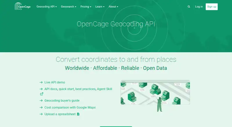
OpenCage Geocoder is an API for converting addresses or place names into coordinates, and coordinates into place information. It combines multiple open geocoders behind one API and describes its coverage as worldwide. Its Geosearch JavaScript library provides location autosuggest for forms and maps, with examples for Leaflet, OpenLayers, and MapLibre. Results can include timezones, Wikidata IDs, NUTS and FIPS codes, speed limits, UN/LOCODEs, and what3words. OpenCage lists SDKs and tutorials for more than 40 programming languages and frameworks, and accepts CSV, ODS, TSV, TXT, XLS, and XLSX uploads. The free trial costs nothing and is for testing only: it allows 2,500 requests per day, one request per second, and spreadsheet files of up to 100 rows. The X-Small plan costs €45 a month; the pricing note lists a starting price of $50/mo. OpenCage was founded in 2013 and is headquartered in Berlin, Germany. The company says its website and geocoding servers are hosted in the EU, queries are deleted after six months, and queries are not used to train AI or machine-learning systems. The API also supports a no_record parameter to prevent keeping a query record.
Who it suits
It suits developers who need address or place-name geocoding, reverse geocoding, or location autosuggest for maps and forms. The trial is limited to testing, while paid plans offer higher request limits and other listed features.
What it does well
- Provides worldwide geocoding through one API.
- Geosearch supports autosuggest for forms and maps.
- Results can include timezone and other location fields.
- Lists SDKs and tutorials for over 40 languages and frameworks.
- Supports a no_record parameter for queries.
What to know first
- The free trial is for testing only.
- Trial usage is limited to 2,500 requests per day.
- Geosearch supports four languages.
- Geosearch does not support full street addresses.
Limits
The free trial allows 2,500 requests per day, one request per second, and spreadsheet files up to 100 rows; it is for testing only. Geosearch supports four languages, excludes full street addresses, and returns only a subset of location data.
Plans
| Plan | Billed and limits | Price |
|---|---|---|
| Free trial | free while testing · 2,500 requests/day · 1 request/sec · files up to 100 rows · testing only | Free |
| Small | €110/mo · 30,000 requests/day · 20 requests/sec · files up to 10,000 rows · multiple API keys · priority support | €110 a month |
| Enterprise | from €1800/mo · Higher limits · larger files · custom pricing and terms · custom SLAs · dedicated support | €1,800 a month |
| X-Small | €45/mo · 10,000 requests/day · 15 requests/sec · files up to 10,000 rows · multiple API keys · priority support | €45 a month |
| Medium | €450/mo · 125,000 requests/day · 25 requests/sec · files up to 10,000 rows · SSO · priority support | €450 a month |
| Large | €900/mo · 300,000 requests/day · 40 requests/sec · files up to 10,000 rows · SSO · priority support | €900 a month |
As opencagedata.com lists them, read 8 Oct 2026. The maker's own page has the final word.
Getting started
- Visit the OpenCage website.
- Choose the free trial for testing or review the paid plans.
- Use the API or web access for geocoding.
- Use the Geosearch JavaScript library for location suggestions in forms or maps.
- Consult the listed language and framework SDKs and tutorials for integration.
Verdict
OpenCage combines geocoding and location autosuggest with extensive integrations and optional location data. Check the trial limits and Geosearch constraints against your needs before choosing a plan.
Questions
How much does OpenCage Geocoder cost?
The pricing note says From $50/mo. The listed X-Small plan costs €45 a month.
Is there a free plan or trial?
The free trial costs nothing and is for testing. It allows 2,500 requests per day, one request per second, and files up to 100 rows.
Which platforms does it support?
The listed platforms are API and web.
What does the API do?
It converts addresses or place names to coordinates and coordinates to place information. Returned data can include extra fields such as timezones and Wikidata IDs.
Does it work with mapping tools?
OpenCage lists Geosearch examples for Leaflet, OpenLayers, and MapLibre maps.
How does OpenCage handle query data?
OpenCage says its website and geocoding servers are hosted in the EU, queries are deleted after six months, and queries are not used to train AI or machine-learning systems. Its API also supports a no_record parameter to prevent it from keeping a query record.
Facts from OpenCage Geocoder's own pages
- Coverage and data
- OpenCage combines many open geocoders behind one API and describes its coverage as worldwide. · opencagedata.com, 8 Oct 2026
- Data protection
- OpenCage says its website and geocoding servers are hosted in the EU, queries are deleted after six months, and queries are not used to train AI or machine learning systems. · opencagedata.com, 8 Oct 2026
- Data retention option
- The API supports a no_record parameter that OpenCage says prevents it from keeping a record of a query. · opencagedata.com, 8 Oct 2026
- Enrichment
- Returned data can include timezones, Wikidata IDs, NUTS codes, FIPS codes, speed limits, UN/LOCODEs, and what3words. · opencagedata.com, 8 Oct 2026
- Founded
- 2013 · opencagedata.com, 28 Sept 2026
- Free tier limits
- The free trial allows 2,500 requests per day, one request per second, and spreadsheet files of up to 100 rows, and is for testing only. · opencagedata.com, 8 Oct 2026
- Geocoding
- The API converts addresses or place names to coordinates and coordinates to place information. · opencagedata.com, 8 Oct 2026
- Geosearch
- Geosearch provides location autosuggest for forms and maps through a drop-in JavaScript library. · opencagedata.com, 8 Oct 2026
- Geosearch limitation
- Geosearch supports four languages, does not support full street addresses, and returns only a subset of location data. · opencagedata.com, 8 Oct 2026
- Headquarters
- Berlin, Germany · opencagedata.com, 28 Sept 2026
- Integrations
- OpenCage lists tutorials or examples for adding geosearch to Leaflet, OpenLayers, and MapLibre maps. · opencagedata.com, 8 Oct 2026
- SDKs
- The company lists SDKs and tutorials for more than 40 programming languages and frameworks. · opencagedata.com, 8 Oct 2026
- Security
- Free-trial and paying users can secure their accounts with two-factor authentication, and the account dashboard is accessible only via HTTPS. · opencagedata.com, 8 Oct 2026
- Support
- OpenCage says customer feedback is handled by humans, and its support team works European business hours. · opencagedata.com, 8 Oct 2026
Where OpenCage Geocoder stands on Freedom251
- Location Intelligence Software#9 of 36
- Location Platform Software#8 of 25
- Geo Tools#14 of 26