Freedom251 › AI Image Recognition Software
SERVIR-ACES
What SERVIR-ACES is
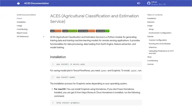
SERVIR-ACES is a free, open-source Python module for preparing training data and training machine-learning models for remote sensing. It loads and processes data from Google Earth Engine, extracts remote-sensing features, and supports training and evaluation for DNN, CNN, and U-Net models. Trained models can run inference, including image-classification work, and custom models are supported. Apache Beam integration provides another option for data processing. Installation is available from PyPI with pip or as a development version from GitHub, with an extra option for installing optional dependencies. Configuration uses environment variables for data and output directories, model type, features, labels, and training parameters. The installation guidance uses Google Earth Engine to convert data into a usable TensorFlow format and directs users to create an Earth Engine account. A Jupyter Notebook Colab tutorial is included, although unpaid Colab may not provide all GPU and other resources. Bugs and feedback can be submitted through GitHub issues.
Who it suits
ACES suits Python users building remote-sensing training datasets and models. It is also relevant to teams needing Earth Engine processing, Apache Beam integration, image classification, or custom model support.
What it does well
- Free and open source
- Supports DNN, CNN, and U-Net models
- Loads data from Google Earth Engine
- Provides custom model support
- Installs from PyPI or GitHub
What to know first
- Requires a Google Earth Engine account
- Unpaid Colab resources may be limited
- Configuration uses environment variables
- Optional dependencies require extra installation
Verdict
SERVIR-ACES combines remote-sensing data preparation with model training, evaluation, and inference. Users should account for Earth Engine setup and possible resource limits in unpaid Colab.
Facts from SERVIR-ACES's own pages
- Apache Beam
- ACES integrates with Apache Beam for data processing. · servir.github.io, 5 Oct 2026
- Colab note
- The tutorial offers a Jupyter Notebook Colab example and notes that GPU and other resources may not be fully available in the unpaid Colab version. · servir.github.io, 5 Oct 2026
- Configuration
- ACES uses environment variables in a configuration file to set data and output directories, model type, features, labels, and training parameters. · servir.github.io, 5 Oct 2026
- Contribution model
- The contribution page describes the project as volunteer-driven and welcomes contributions. · servir.github.io, 5 Oct 2026
- Data processing
- ACES provides data processing and data loading from Google Earth Engine. · servir.github.io, 5 Oct 2026
- Earth Engine requirement
- The installation documentation says Google Earth Engine is used to process data into a usable TF format and directs users to sign up for an Earth Engine account. · servir.github.io, 5 Oct 2026
- Installation
- The documentation provides installation from PyPI with pip and installation of a development version from GitHub. · servir.github.io, 5 Oct 2026
- Model support
- ACES supports training and evaluating DNN, CNN, and U-Net models, and running inference with trained models. · servir.github.io, 5 Oct 2026
- Optional dependencies
- The installation documentation offers an extra option to install all optional dependencies. · servir.github.io, 5 Oct 2026
- Purpose
- ACES is a Python module for generating training data and training machine learning models for remote sensing applications. · servir.github.io, 5 Oct 2026
- Remote sensing
- ACES supports feature extraction for remote sensing applications. · servir.github.io, 5 Oct 2026
- Support
- The project directs users to file GitHub issues to report bugs or submit feedback. · servir.github.io, 5 Oct 2026
Where SERVIR-ACES stands on Freedom251
- AI Image Recognition Software#34 of 37