Freedom251 › Location Intelligence Software
PiinPoint
What PiinPoint is
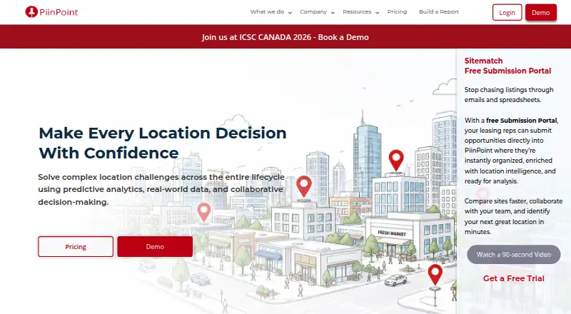
PiinPoint is a web-based software platform for territory planning and location analysis. It helps organizations examine geographic areas using drive-time analysis, territory planning, and demographic data. Users can upload existing geographic information in CSV, Excel, GeoJSON, Shapefile, or TAB formats. These input options support working with data prepared in several common mapping and tabular formats. PiinPoint was founded in 2013 and is headquartered in Kitchener, Ontario, Canada. Access is provided through the web, and the listed pricing model is paid, with pricing available on request. The platform combines travel-time evaluation, demographic information, and territory organization in one web application. Organizations can use those capabilities to study how areas are reached, review population characteristics, and plan geographic coverage. PiinPoint is intended for users whose location decisions depend on travel times, territories, and demographic information.
Who it suits
PiinPoint suits organizations planning territories and evaluating geographic coverage. It is also relevant to teams that need drive-time analysis, demographic data, and uploads from common geographic file formats.
What it does well
- Drive-time analysis is included
- Supports territory planning
- Provides demographic data
- Accepts five upload formats
What to know first
- Pricing is available only on request
- Access is listed for web only
Verdict
PiinPoint brings drive-time analysis, territory planning, and demographic data together in a web platform. Its multiple upload formats may help organizations work with existing geographic datasets.
Facts from PiinPoint's own pages
- Founded
- 2013 · piinpoint.com, 4 Oct 2026
- Headquarters
- Kitchener, Ontario, Canada · piinpoint.com, 4 Oct 2026
Where PiinPoint stands on Freedom251
- Location Intelligence Software#35 of 36